Upon arriving, we saw some boat wrecks and I asked my husband, “How do boats wreck out there, for no apparent reason?” He replied, “Probably by not using a navigational map.” “What?” I didn’t know what he was talking about. He explained that there is a map showing how deep the water is and where obstructions you have to look out for are, such as rocks or wrecks, and that we have to go to a bait store and buy one before we go out exploring. So we did. And I was really surprised!
I had no idea that such a map existed, much less that we’d need one to get around safely. I guess I had never thought about it, but I suppose I just assumed that the ocean was deep and wide open to cruise, wherever. Not the case, as you can see below. There are several areas you have to look out for shallow land, especially in low tide, and for wrecks and rocks, especially in high tide. By the end of the week, we knew the map very well. It’s funny how it seemed so daunting that first day, and the fear I had going all the way down to the 7-mile bridge, then the fifth day, going down to the bridge and all the way around Marathon was nothing!

It was pretty cool to see the bridge, old and new, up close.

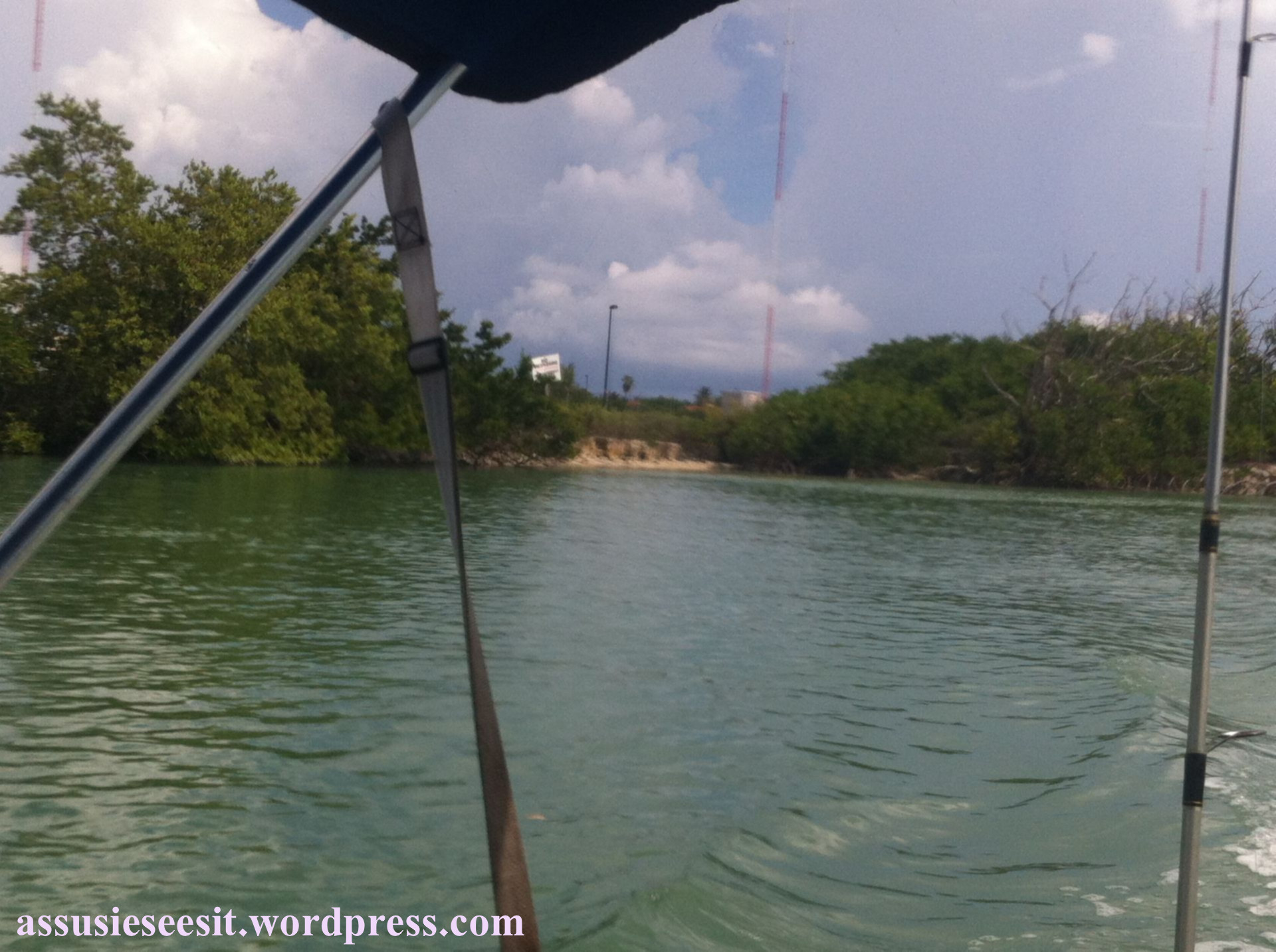
A peculiar site exhibiting signs to keep out of this government property is nestled along Sister Creek. Dave read about it in a book from the library – apparently, U.S. radio is broadcast to Cuba 24-hours a day from this location.